proximity

Grid Space
Mapping, a synonym of drawing, is a tool used to create visual elements to symbolize how we view our surroundings. These symbols communicate the cartographer’s perception and values of space in order to situate themselves in an expansive environment. Additionally, maps are a tool of Colonial control; mapping is synonymous to staking a claim. As political devices, maps illustrate borders and ownership of land. They are records for the development and excavation of resources. This does not mean that they cannot be used in different ways, such as memory maps, or directions to somewhere, or to find something. They are a language of lines and images for the user to understand where they are situated and how they may travel from A to B. However, what has changed with Google Maps, is we no longer find ourselves on the map, but the map finds us. “Many mobile media projects involve creating maps, if only to picture the traces and locate the annotated spots. The maps, in turn, are predicated on the database form. Like maps, databases are tools for organizing, elaborating, or preserving knowledge; they play an important part in modeling our perceptual world” (O’Rourke 176). What does this mean in relation to understanding our surroundings- and how we are guided to what we think we are looking for?
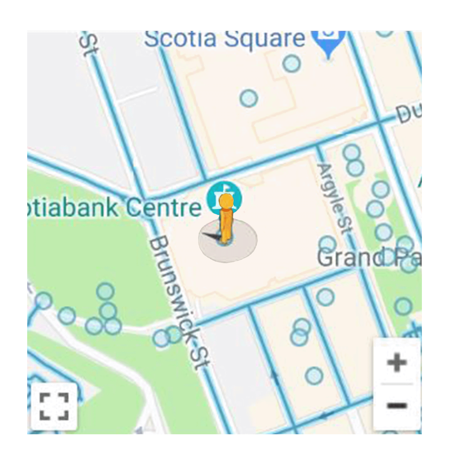
Moving to a new place, such as Halifax, a large part of my experience has been reliant on my use of Google maps. This application provides new residents and tourists with the ability to conveniently search for any destination, based on advice constructed from their digital data-doppelgänger. With location-aware applications, “the city becomes a network of nodes and pathways through which we circulate like data packets. ‘The city is here for me to use’ is the underlying logic: a searchable city with an easily accessible shopping cart” (Shepard 26). The pulsing blue dot leads the way, allowing the user to safely find what they are looking for, without wandering the streets and asking strangers for directions. Who knows what you like more than your digital counterpart?
_PNG.png)

These tailored suggestions on our digital applications, such as Google Maps, enforce segregation in multiple planes of space. In their book, Net Locality: Why Location Matters in a Networked world, Eric Gordon and Adriana De Souza E Silva unpack the theory of net locality and its effect on individuals and society. Net locality is described as a new form of location awareness being central to all aspects of digital media, from mobile phones, to Google Maps, to location-based social networks and games (Gordon 2011). In a culture that values digital location, privacy becomes about the inability of the subject to conceal oneself in a sea of user data. Additionally, they argue that net localities are the physical manifestations of Mark Adrejevic’s digital enclosures and shift how we understand the web in every day physical locations. Surveillance practices are no longer based on the birds-eye perspective but rather the collective development of user-data, personal targeted ads, applications and information. These corporate user-based data infrastructures promote social molecularization.
Although the Google car driving around taking 360 panoramas of its surroundings seems innocent enough, there are some critical questions that need to be asked. Controlled by a private corporation, Google still must abide to the privacy laws in each country. For example, in Canada, Google must blur out the faces of any citizens captured; however, this law is not enforced in all countries. As a CBC article published in 2009 describes, to appease the Privacy Commissioner of Canada, “the company has added privacy features to the service, including the automatic blurring of faces and license plates to avoid identifying people and cars and an easy method for asking that images be removed” (CBC News). When looking at privacy and Google's goal to map the world, the definition of public space becomes muddy. Although Google abides to privacy laws regarding images captured in public spaces, their application magnifies the onlooker's accessibility to all public spaces. Additionally, Stuart Hargreaves has identified racial violence excavated through the imagery uploaded on the Google Street View platform by anonymous users. Hargreaves argues, “any individual case of embarrassment or nuisance matters, broader “macro-harms” that impact entire communities reflect perhaps the most serious problem associated with the selective scrutiny of street surveillance imagery” (388). Once published, all the images captured from the Google Street View cars are accessible for online users to re-contextualize the images any way they wish. The public space becomes a public image for all to use. "For instance, anonymous viewers discovered a Street View image of young black men gathered around a car, and instantly concluded that it that it revealed a “drug deal from every angle”, despite a complete absence of narcotics in the image" (Hargreaves 389).

Artist Jon Rafman utilizes the images of Google Maps in his work 9eyes. He explains, “with its supposedly neutral gaze, the street view photography has a spontaneous quality unspoiled by the sensitivities or agendas of a human photographer” (Rafman). Rafman is interested in the particular relationship between Google Street View’s cameras and their surroundings. Unlike in the photographic tradition that precedes it, Street View Photography is not concerned with what is photographed and how it is framed. Some of Rafman’s selections recall early street photography. He frames unaware subjects who happen to enter Street View’s field of vision, highlighting and indulging in the unsettling ethical implications of making images of individual people’s lives “accessible and useful” to all users (Rafman). On the other hand, as Hargreaves warns, “while this new form of digital mapping is technologically impressive and has proved popular with many Canadians, it brings with it certain risks, driven by a form of scopophilia—the love of looking. Although the technology is facially neutral and is deployed by Google et al. without discriminatory intent, the gaze of the anonymous audience that accesses the imagery is not directed in such an equal manner” (Hargreaves 389).
.png)

As a user I am also curious where Google Maps is allowed to go and record. How are the road maps constructed? Looking at Halifax it appears the majority of the roads have been 360 captured; however, what roads, areas, and communities are left out? On Google Maps' policy it states, “Google is dedicated to helping you discover the world around you. Imagery on our platforms is intended to enhance your experience, helping you preview and explore places nearby or across the globe. We go to great lengths to make sure that imagery is useful and reflects the world our users explore” (Google). This statement, although intended as positive reinforcement to Google Map’s mandate, is as powerful as it is concerning. Images and maps are weapons of colonial power, where the capturer’s gaze is in control of the narrative. This is especially concerning when considering the extent of the Google Street View platform. The application allows users to upload their own content onto the public platform. Users are encouraged to upload as many location-based reviews, images, and panoramic tours, through rewards and “local guide” level ups. The user content is instantly uploaded onto the public domain and does not have to blur faces or license plates, unless requested. Moreover, the images uploaded go through no vetting process and can be doctored. Anyone's location-based images can be accessed immediately and seen by anyone around the world using these applications. This is dangerous, as Sontag points out, as photographs (especially uploaded onto Google Maps) are considered inherently accurate to the location to which they are pinned. Embed “Photographs, which fiddle with the scale of the world, themselves get reduced, blown up, cropped, retouched, doctored, tricked out” (Sontag 5).


In my research I specifically focused on ‘Local Guides’ in the Halifax Regional Municipality to see who was uploading images in my location. Surprisingly enough, along with a few professional photography companies, there were only five consistent ‘Local Guides,’ all males. This does not mean the application is particularly gender biased, but it does speak to who has access to the equipment and interest in using the public platform to capture their surroundings. As Hargreaves points out, “the individuals that participate in these online communities tend to be young, male, and digitally well-connected—and the targets of their scrutiny and subsequent commentary are predominantly drawn from radicalized groups and women. Gender, ethnic, and economic biases are all revealed and reinforced by the way in which the scrutiny is applied” (389). Additionally, most Street View up-loaders are tourists; people with the economic freedom to travel and visit new places. Analyzing these speculations, how is the interface of Google Street view affected? What perspectives are being altered and/or withheld?
Artists Paula Levine, the Queering the Map collective, and Jason Isolini infiltrate the Google Map interface to offer new narratives to the database. “Together, the content shared by all these users create a collective “voice” of a particular area of a city. A city as a whole can be compared to an orchestra of all these voices (although, of course, they are not necessary performing the same composition.) Applying the concept of inequality to a collection of these urban voices can give us new ways of understanding a city, and provide an additional metric for comparing numerous cities around the world” (Indaco 5). In Paula Levine’s work, The Wall, she utilizes Google Maps to superimpose a 15-mile security wall located between Abu Dis and Qalandiya in San Francisco (Levine). She has repeated the project in numerous North American cities. This project repurposes the application to let users experience the spatial effects of political conflict around the world. Jason Isolini also re-purposes the Google’s street view tool to critically engage with location-based data collection and developing AI. For example, in his work, Abandon User, he weaves a narrative around the first self-driving car that kills a pedestrian in the virtual tour software and uses warped images to place the viewer in a different position of understanding AI technology (Haskins 2019). The Google street view tool becomes another artistic medium that can hold critical dialogs with its users. Similarly, the Queering the Map collective utilizes the location-based archiving qualities of Google Maps to create a living Queer archive of cities (Queering the Map). The collective invites users to share their Queer experiences “to collectively document the spaces that hold queer memory, from park benches to parking garages, to mark moments of queerness wherever they occur” (Queering the Map). These interventions challenge the data base and allow us to imagine location-based sites as collective community archives, political resistance, and global understanding of each other.


The current inequalities on Google Maps frustrate me. While roaming the application I began to focus on who was uploading interactive panoramic photos and tried to reveal them. The Google Guy, series aims to playfully look at who the photographers are behind these location-based photos. I needed to put a face to the photographer who was fabricating my experience of Halifax. I then cropped the photographers out of their surroundings to re-contextualize them as a way of critiquing the fragility of the uploaded locations. I did this by manipulating them through scale and changing their environment. Being removed from their space, the users become icons that can be altered and distributed, like digital images. Due to the nature of 360 degree panoramic photography, the perspective is looking down on the photographers, reversing the power relationship of viewer to subject. By doing this, I aim to expose the unseen agents of power that contribute to Google Street View's perception. As avid google maps users, we are constantly manipulated by these uploaded images; they impact our understanding of places before we physically visit them ourselves, if we ever do.
